
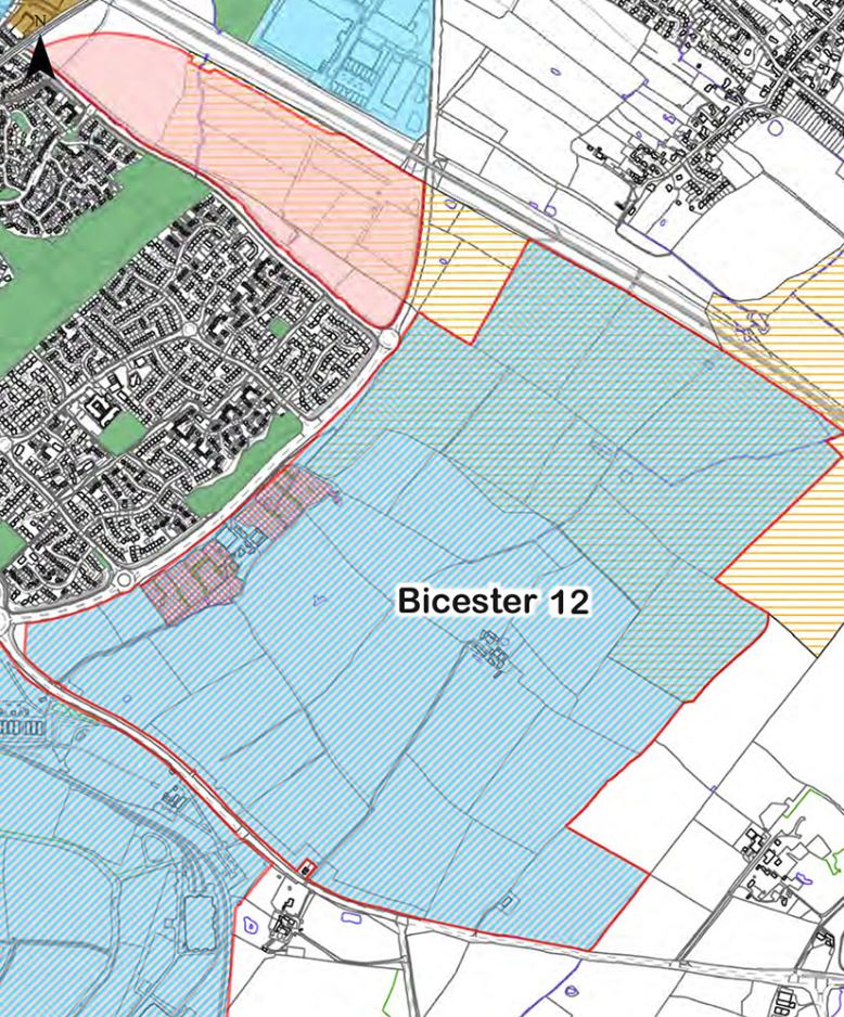
 The farmland area adjacent to Langford Village, at the other side of Wretchwick Way, is shown in the Cherwell Local Plan as Bicester 12 – South East Bicester. This site of approximately 155 hectares is allocated for mixed-use development, with proposals for 1500 houses together with business and industrial buildings, primarily storage and distribution.
A map showing the Bicester 12 area, together with further details from the Cherwell Local Plan (July 2015) can be seen here.
Wates Developments and Redrow Homes are consulting on these developments and a Public Exhibition will be held on Tuesday 20th October 2.00-pm-7.00pm and Wednesday 21st October 2.00pm-8.00pm at Unit 7, Crown Walk, Bicester. See also http://www.wretchwickgreen.co.uk/